Sights on my climb of Borah Peak.
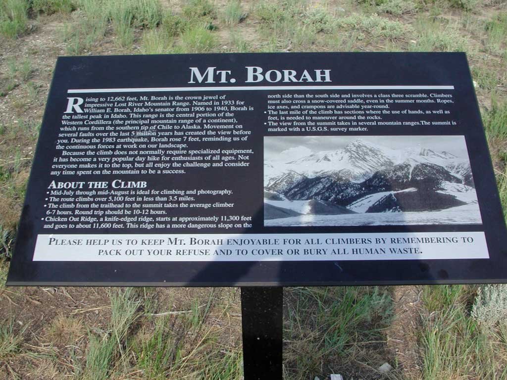
The signboard at the trailhead. Photos taken July 24, 2004, by
Petesthousandpeaks.
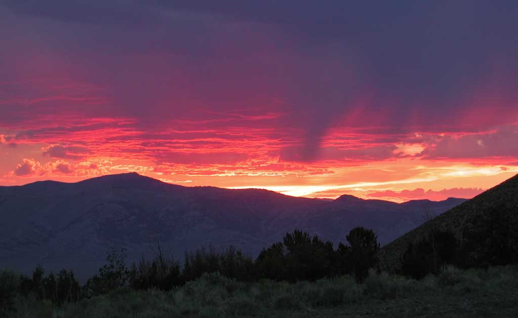
 The sunset before my summit day.
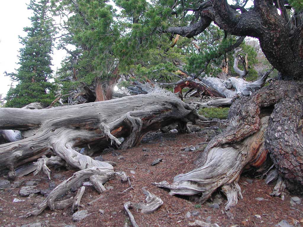
 Sights on my climb up Borah Peak,
with snags along the trail. Photos taken July 25, 2004, by Petesthousandpeaks.
Sights on my climb up Borah Peak,
with snags along the trail. Photos taken July 25, 2004, by Petesthousandpeaks.
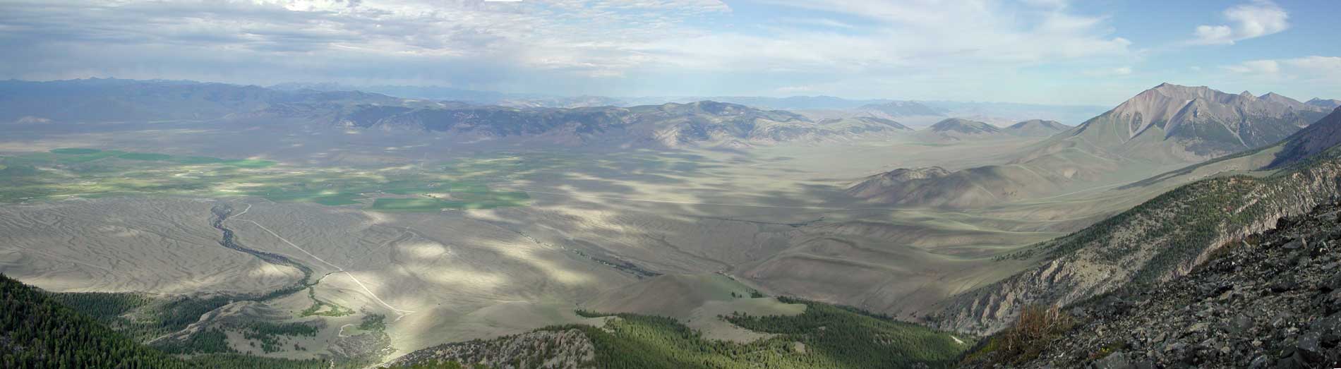
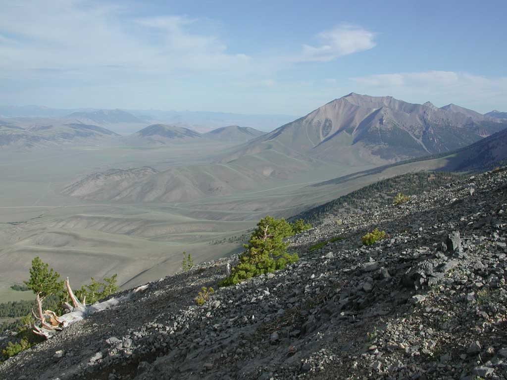
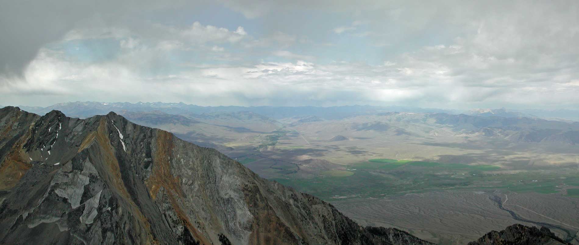
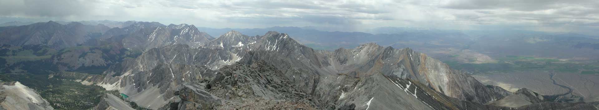
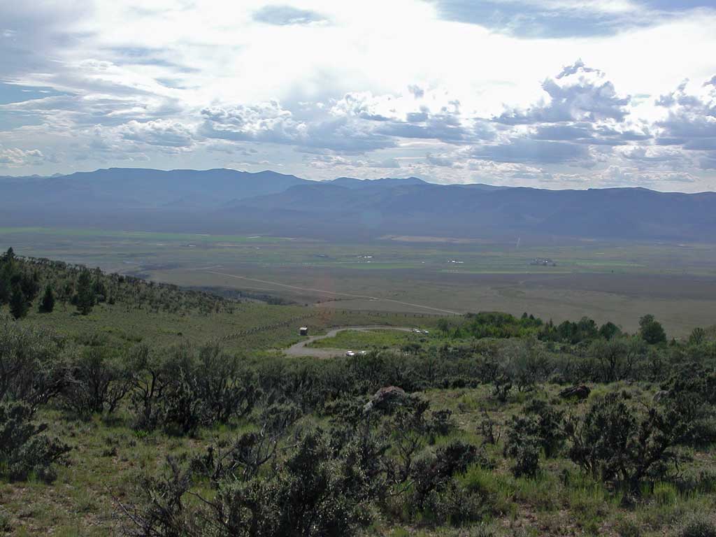
 A panorama on the way up, with
cloud patterns over the upper Big Lost River Valley.
A panorama on the way up, with
cloud patterns over the upper Big Lost River Valley.
 The trail switchbacks on the ridge,
partway up.
The trail switchbacks on the ridge,
partway up.
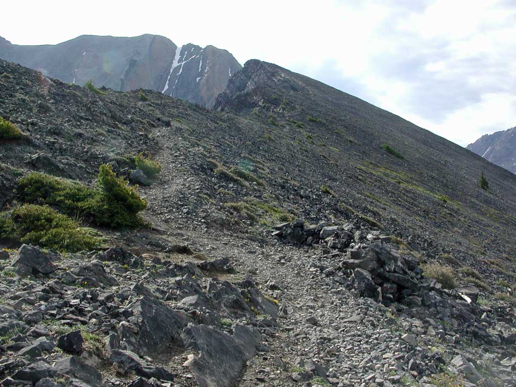
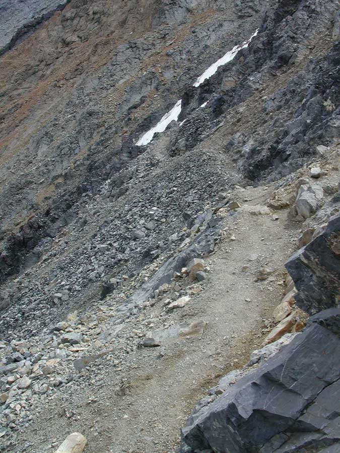
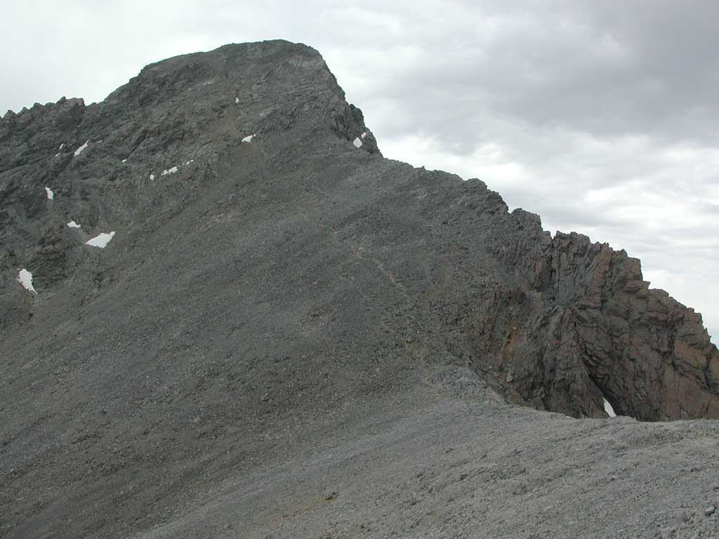
 The trail ascends the ridge, toward
"chicken out ridge" far ahead, with some snow.
The trail ascends the ridge, toward
"chicken out ridge" far ahead, with some snow.
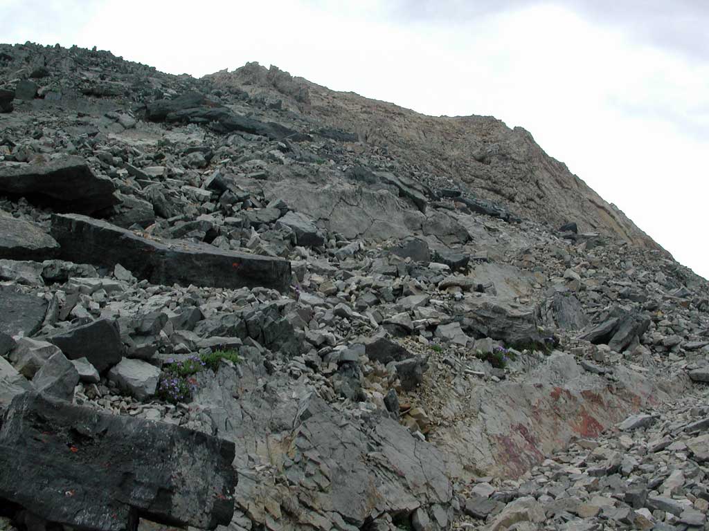
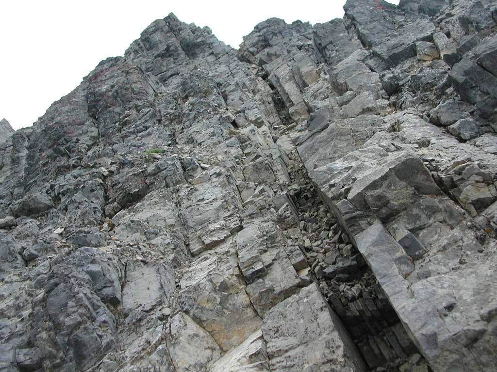
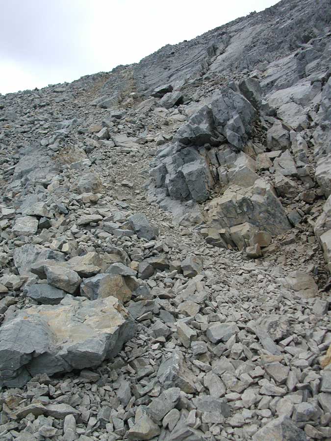
 The rubbly, trailless start to
"chicken out ridge."
The rubbly, trailless start to
"chicken out ridge."
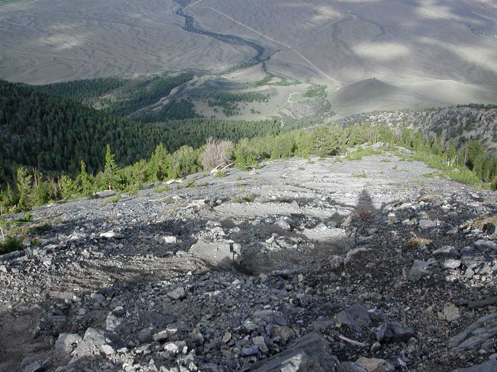
 A panorama as I waited for the
weather.
A panorama as I waited for the
weather.
 Some climbers ahead as you ascend
on the right (south) side of the ridge.
Some climbers ahead as you ascend
on the right (south) side of the ridge.
 The route crosses over the ridge,
then the short use trail on the left (north) side of the ridge.
The route crosses over the ridge,
then the short use trail on the left (north) side of the ridge.
 The diagonal gully up, on the left
(north) side of the ridge, just before reaching the class 3 downclimb.
The diagonal gully up, on the left
(north) side of the ridge, just before reaching the class 3 downclimb.
 The remainder of the climb once
past the snowy knife-edge. The scree use trail is visible.
The remainder of the climb once
past the snowy knife-edge. The scree use trail is visible.
 The steep, scree, use trail leading
to the summit.
The steep, scree, use trail leading
to the summit.
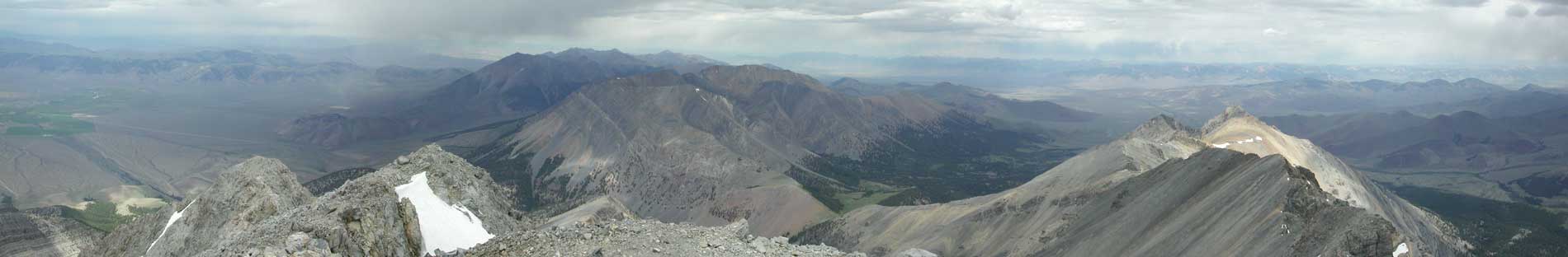
 Here are two partial panoramic
vistas from the top of Borah Peak (12, 662').
Here are two partial panoramic
vistas from the top of Borah Peak (12, 662').
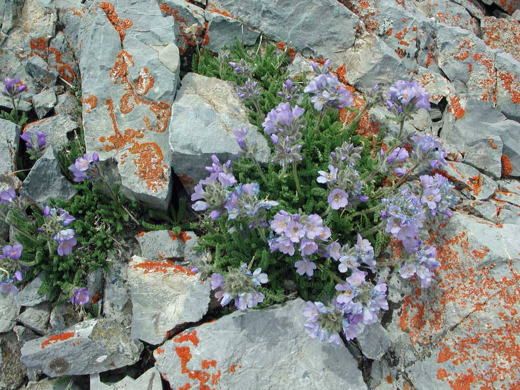
 Some wildflowers and lichen high
on the peak.
Some wildflowers and lichen high
on the peak.
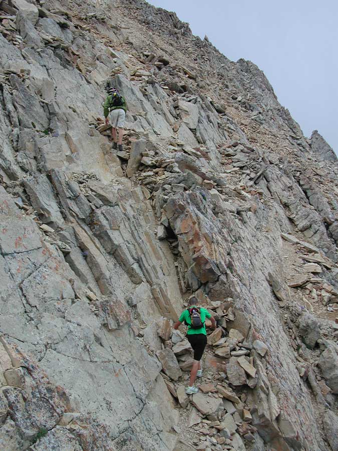
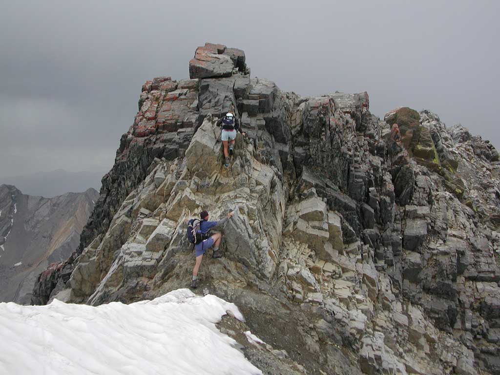
 The primary difficulty on the tourist
route up Borah is the snowy knife-edge with the class 3 downclimb.
Here, on my descent, two hikers climb back up the class 3 part
to continue down the mountain. I found the snowy knife edge laughably
easy, although in worse conditions, hikers have been killed here.
The primary difficulty on the tourist
route up Borah is the snowy knife-edge with the class 3 downclimb.
Here, on my descent, two hikers climb back up the class 3 part
to continue down the mountain. I found the snowy knife edge laughably
easy, although in worse conditions, hikers have been killed here.
 Back to the trail start.
BACK TO PETE'S
THOUSAND PEAKS HOME PAGE